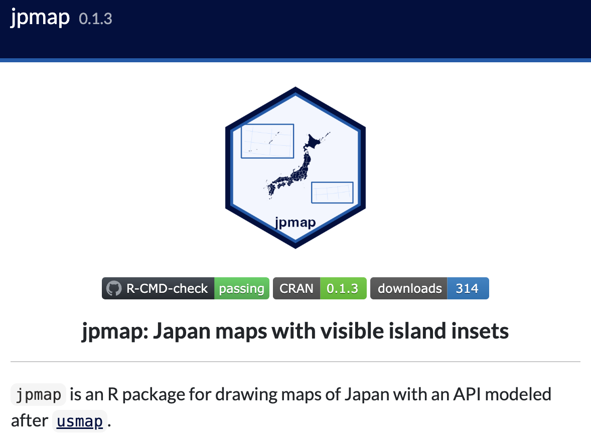
The R packages jpmap and jpmapdata are now ready for public use on CRAN. jpmap supports maps of Japan with Okinawa and Ogasawara insets, prefecture and municipality boundaries, and a ggplot2-style workflow; jpmapdata provides companion boundary data. See the project website, jpmap on CRAN, and jpmapdata on CRAN.
What’s New?
jpmap and jpmapdata Released on CRAN
Announcement that the R packages jpmap and jpmapdata are now publicly available on CRAN for mapping Japan and using companion boundary data.
Software English Japanese Politics & Public PolicyPolitical Methodology & Research Design